
March, 2020
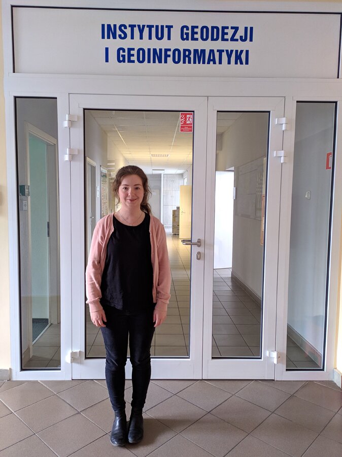
The one-month internship on GNSS tomography at UPWr.
February, 2020
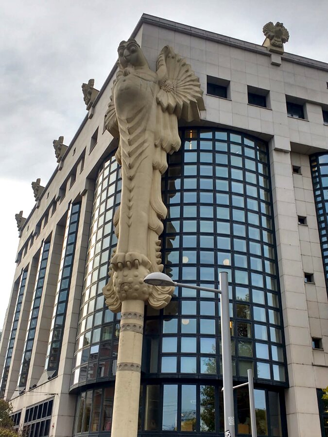
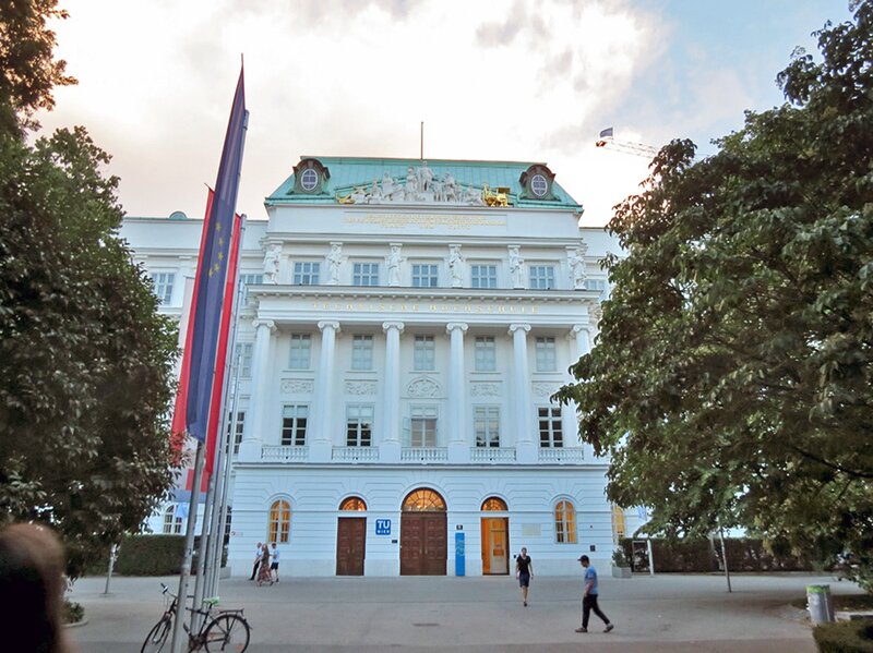
The 2-month internship on troposphere delay modeling in satellite laser ranging and introduction to VLBI NEQ’s processing at TU Wien.
January, 2020
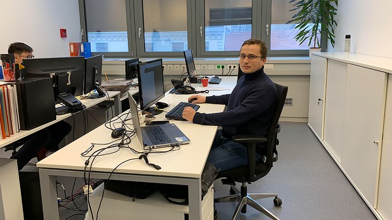
The 3-month internship on LiDAR at TU Wien
The research carried out during the internship was focused on developing and testing of the algorithm for automatic matching of corresponding rocks in multitemporal point clouds. The cooperation with the researchers from TUWien enabled to improve the algorithm and validate its performance on the real-world example of the mountain river bed. There was also the opportunity to test the convergence radius of Iterative Closest Point algorithm in the untypical conditions when one of the point clouds represents the wider scene than the other. Moreover, attending group meetings, listening to the presentations of the researchers from TUWien, and participating in discussions allowed me to extend my scientific interests.
January, 2020
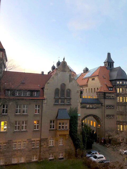
Short-term visit Prof. Witold Rohm to TU Dresden
The short-term visit (8-15.12.2019) to TU Dresden was a great opportunity to find common research topics between UPWr and hosting institution. Participant as a UPWr’s Lead Research Group (LRG) in the discipline civil engineering and transport SpaceOS take part in two seminars: 9/12/2019 at the Institute of Geodesy with a group of Prof. Lambert Wanninger and second one on 13/12/2019 at the Institute of Planetary Geodesy with a group of prof. Martin Horvath.
In the first seminar Recipient gave two talks (each 30 minutes long) “SpaceOs research at UPWr” with overview of all activities of LRG, While the second one entitled “GNSS signal a tool in active remote sensing” was much more focused on Participant’s expertise ie. GNSS meteorology and covered GNSS rain study and tomography assimilation study.
Second seminar was led by prof. Horvath and covered mostly polar research conducted by Institute researchers including GRACE gravimetry observations, GNSS epoch processing and ice melting retrieval using number of techniques.
Through the discussion following common research topics were identified:
-
Using TU Dresden developed (prof. Lambert Wanninger) GNSS processing software to
-
support Bernese replacement activities at UPWr
-
Using GNSS WARP by researchers from TU Dresden as an additional PPP processing engine
-
Working on the low-cost GNSS data processing strategies for positioning and troposphere
-
Introduction to ice/snow research using GNSS – R
December, 2019
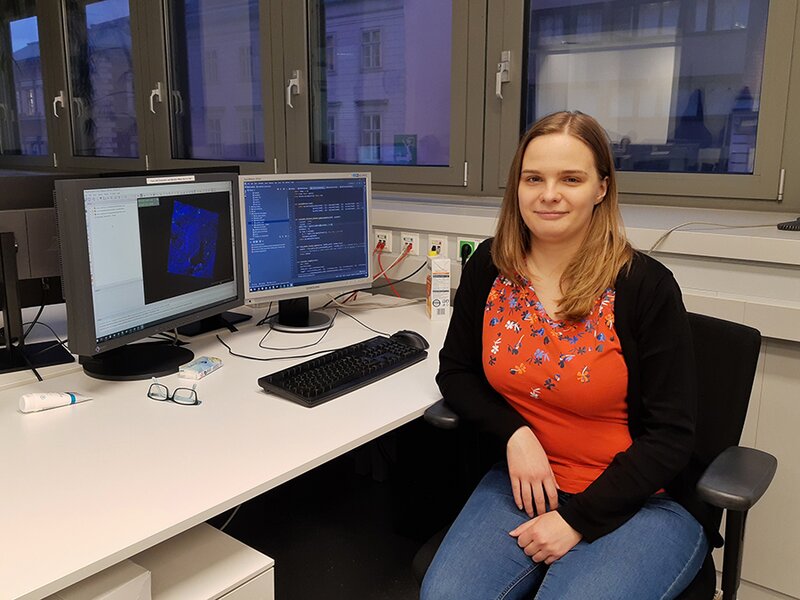
The 1-month internship on GNSS Tomography at Wroclaw University of Environmental and Sciences
October, 2019
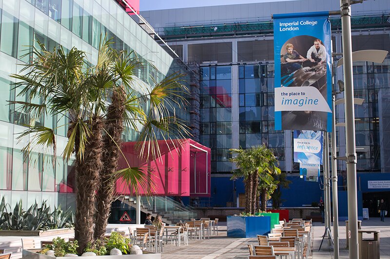
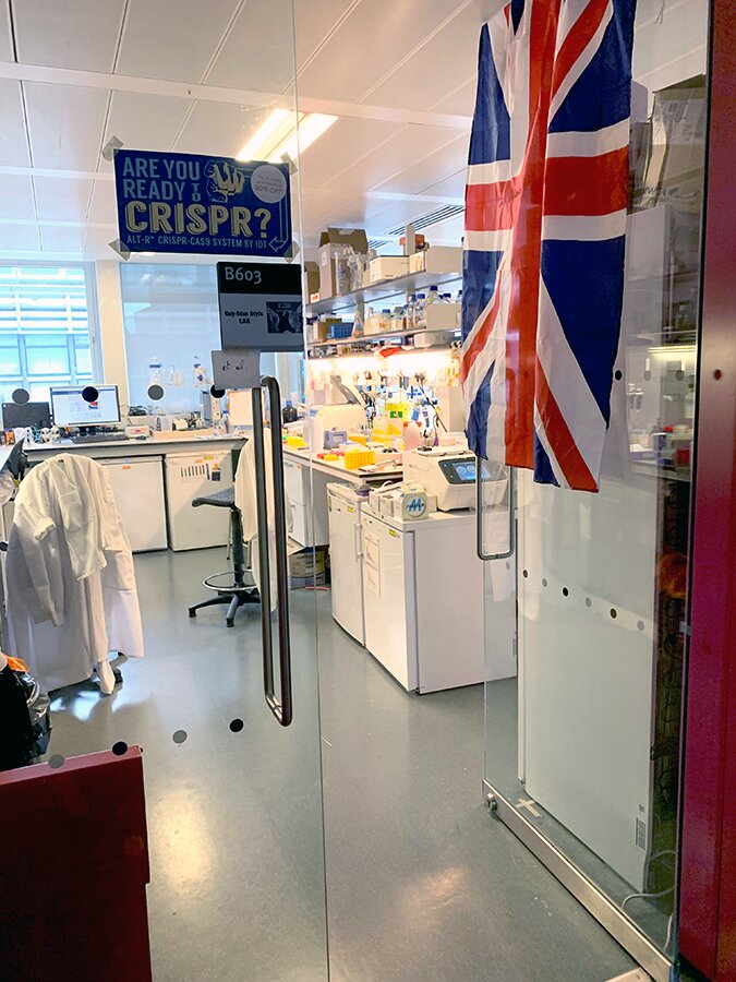
The 4-month internship on biotechnology took place at RLAlab in Imperial College of London.
The trainship was based on combined techniques of molecular biology, synthetic biology, and metabolic engineering in non-conventional organisms relevant to applications in human health and biotechnology. The research concerned the production of secondary metabolites derived from amino acids using the yeast Yarrowia lipolytica. The focus was put on p-coumaric acid and resveratrol which can be synthesized in different (micro)organisms from tyrosine (Tyr) and phenylalanine (Phe). Patrycja Szczepańska, a PhD student at the Department of Biotechnology and Food Microbiology (UPWr) says that the cooperation with the research group of Dr. Rodrigo Ledesma-Amaro at Imperial College London, was an opportunity to broaden knowledge of using synthetic biology tools to create new properties and enhanced behaviors in microbial cells. It was also a good chance to meet many fantastic people and exchange experiences.
May, 2019
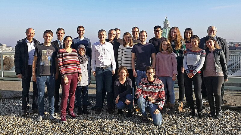
On the 8th of April - 10th of May, the first academic exchange within the INCREaSE project took place. Ph.D. student from the UPWr, Estera Trzcina, made a mid-term visit to the TU Wien.
April, 2019
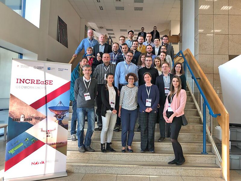
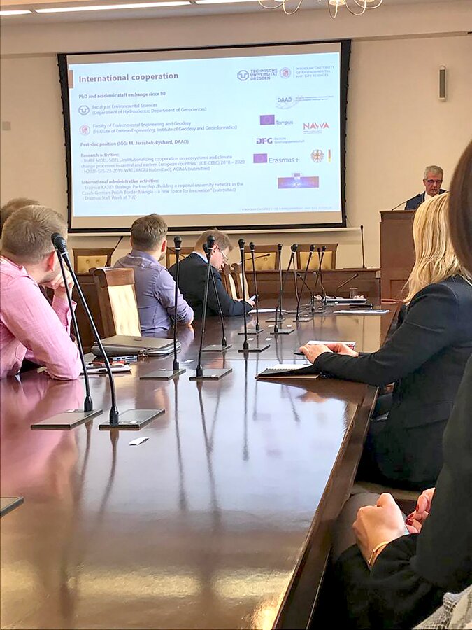
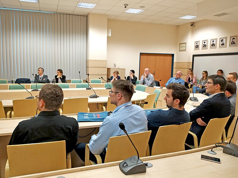
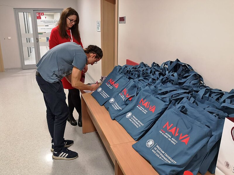
On the 27th March the INCREaSE project had its kick-off, hosted by Wroclaw University of Environmental and Life Sciences.
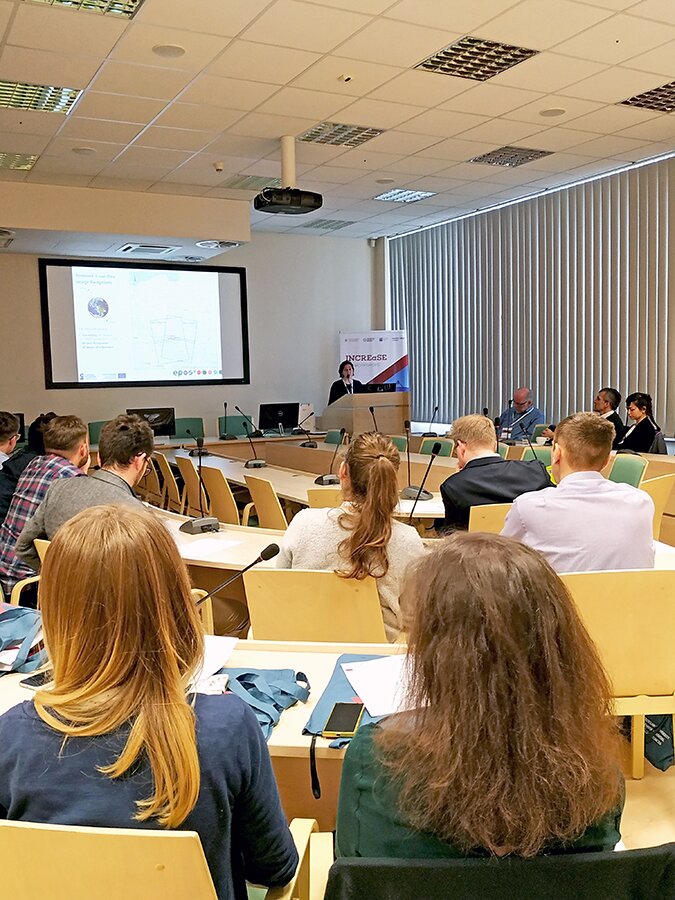
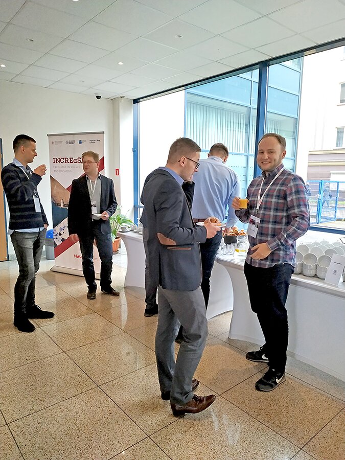
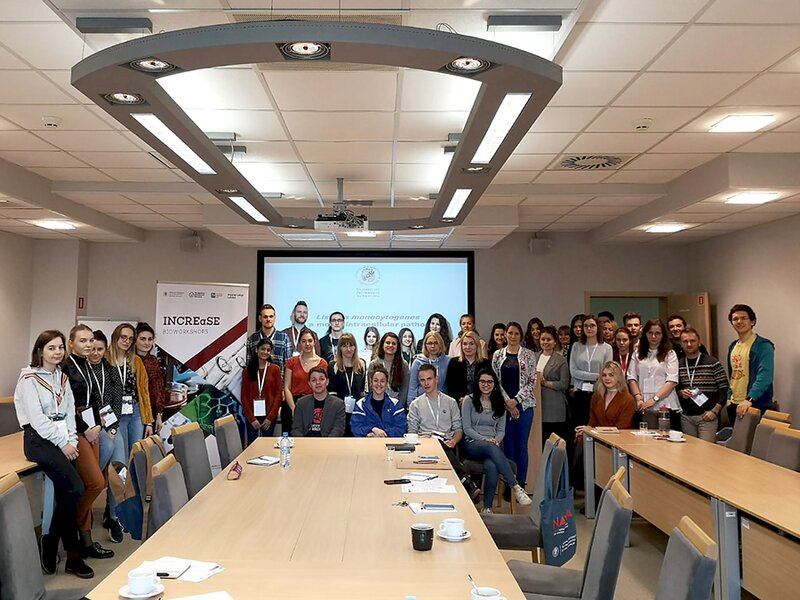
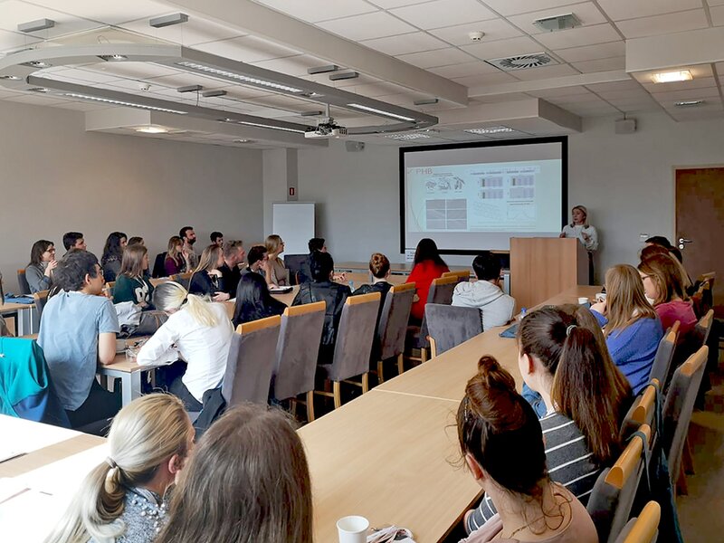
On the 28-29th March, the research workshops at the Faculty of Environmental Engineering and Geodesy (GEOWorkshops) and at the Faculty of Biotechnology and Food Science (BIOWorkshops) took place.
February, 2019
On the 27.03 the kick-off meeting of INCREaSE project will take place at UPWr
During the kick-off Partners will officially launch the implementation of project activities and discuss the actions to be put into place in the time ahead.
On the 28-29.03 a two-day scientific workshops will be running in parallel on two topics:
- “Synthetic biology approaches for biotechnological processes using microorganisms”
- “Geodetic techniques in geophysics, environment monitoring and smart cities”
The first day of the workshops is aimed to identify common research areas, involve partners, plan further exchanges and pinpoint the future challenge (only for Partners participants).
The second day of the workshops will focus on practicals and application on the cutting-edge technologies as well research challenges in these fields will be presented. The second day is open for master students, PhDs, young researchers also outside the Partnership, everybody who is keen on to discover new applications in geodesy or biotechnology.


