In the latest edition of the Polish Space Agency POLSA contest, the doctoral dissertations of Dr. Dariusz Strugarek and Dr. Mateusz Drożdżewski were distinguished.
The contest covers topics in the realm of space research and utilization, the development of space technology, including satellite engineering, the functioning of the space industry, and the application of research findings for practical, economic, defense, security, and scientific purposes.
This year's prize pool amounted to 35,000 Polish złoty. As the scientists emphasize, apart from the competition regulations, factors considered included: the scientific (cognitive, innovative) value of the dissertation's aim, an analysis of the scientific achievements in the dissertation's topic, methods used to solve the main cognitive problem, the cognitive and practical value of the conclusions drawn from the dissertation, and the clarity, editing, and structure of the work.
Precise Laser Measurements in Geodetic Research
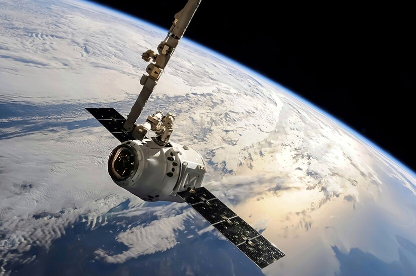
Laser ranging to artificial satellites (SLR) is an indispensable source of information about the origin of global coordinate systems – the geocenter. Also, it allows for determining changes in the shape of the Earth's figure and gravitational potential over time. The currently used model for tropospheric delay is based on in-situ pressure, humidity, and temperature measurements, assuming full atmospheric symmetry over the SLR station and its flawlessness.
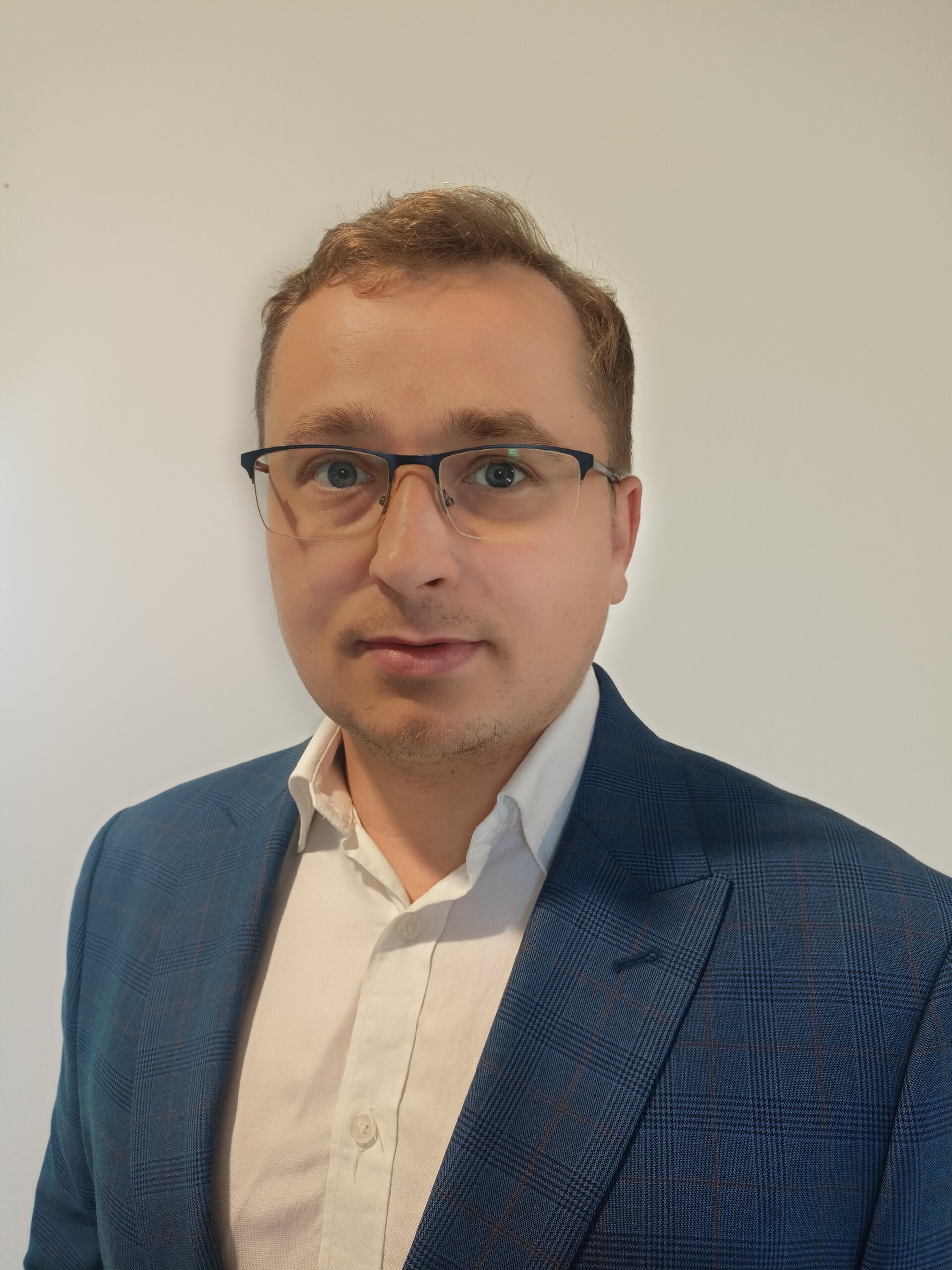
Dr. Mateusz Drożdżewski
However, as proven, errors in this model significantly affect the geodetic parameters determined through this technique, such as station coordinates, geocenter, parameters of the Earth's rotational motion, and the geometric scale of the coordinate system.
In his doctoral dissertation, Dr. Mateusz Drożdżewski thus investigated, based on observations to the passive geodetic satellites LAGEOS-1 and LAGEOS-2, how new tropospheric delay models based on numerical weather models, accounting for atmospheric asymmetry over the SLR station, affect global geodetic parameters.
–I also conducted a simulation of erroneous measurements of pressure, temperature, and humidity at the SLR station and assessed their impact on calculated geodetic parameters. Using a correction to the tropospheric delay, I checked the possibility of reducing the influence of meteorological equipment malfunctions on the determined parameters – explains the scientist, emphasizing that considering atmospheric asymmetry above the station and accurately estimating the tropospheric correction helps detect and reduce errors in measurement results, making them more consistent with other satellite techniques like GNSS or Very Long Baseline Interferometry (VLBI). – Therefore, laser measurements of distances to satellites require precise consideration of atmospheric conditions both above and around the measurement station – adds Dr. Drożdżewski.
– I am pleased that my work, and thus the ideas implemented together with my supervisors, have been recognized by the POLSA contest jury i says Dr. Drożdżewski about his distinction.
Innovative Application of Satellite Laser Measurements in Geodetic Research
The doctoral dissertation of Dr. Dariusz Strugarek, titled "Satellite Laser Ranging to Low Earth Orbiters for Orbit Validation and Determination of Global Geodetic Parameters", was recognized by international reviewers for its groundbreaking nature and usefulness in the field of satellite geodesy, integration of geodetic techniques, and the development of satellite systems in Earth studies.
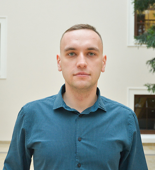
Dr Dariusz Strugarek
In his work, Dr. Strugarek successfully integrated laser observations to satellites in low, medium, and high orbits for the first time. He identified the main errors in determining the orbits of artificial satellites and in laser observations and proposed models for eliminating these errors, making his research particularly valuable in improving the quality of data from various Earth observation satellite missions and determining geodetic parameters. – Better data means better monitoring of earthquakes, tsunamis, ice melting, precise reference systems for engineering measurements in construction or mining, but also better monitoring of vegetation quality, soil water content, soil erosion, or the now commonly used vehicle navigation – emphasizes Dr. Dariusz Strugarek.
– This distinction validates my work, especially since its topic is closely related to space and satellite themes. It was assessed by specialists in this field in Poland, so receiving first place is of great significance to me. Additionally, it is a great opportunity to promote my work and the university in the country, as I have the opportunity to present my achievements at industry events – says the scientist.
The doctoral dissertations of Dr. Dariusz Strugarek and Dr. Mateusz Drożdżewski won first and third place, respectively, in the POLSA President's Award contest for the best doctoral dissertation in the field of space research for their innovative approach to precise laser measurements in satellite geodesy. The awards received confirm the significant contribution of the university to the development of space technology, and also promoting Polish science in a global context. The financial prizes are not only recognition for the researchers but also support for the continuation of their research.
Dr. Agnieszka Krawczyk-Łebek, from the Department of Food Chemistry and Biocatalysis at UPWr, has secured funding for her groundbreaking project in the 14th edition of the National Centre for Research and Development's "Leader" program. Her research focuses on developing a multifunctional preservative for the cosmetics industry, offering a natural alternative to synthetic preservatives that are increasingly rejected by consumers.
The campaign orchestrated by the City of Wrocław was a remarkable success, attracting over 1,400 participants who traversed a staggering 450,000 kilometers - a journey extending from Earth well past the Moon. Amongst this impressive feat, the Wrocław University of Environmental and Life Sciences took third place on the podium.
This site uses custom cookies to ensure that it functions properly. Some are necessary for the page to run, so will always remain active. These cookies will store information about the user's cookie settings. In addition, third-party cookies are used for external tools. For more information see the privacy policy.
Purpose
Enables storage (such as cookies) related to advertising.
Agreed
Sets consent for sending user data to Google for online advertising purposes.
Agreed
Sets consent for personalized advertising.
Agreed
Enables storage, such as cookies (web) or device identifiers (apps), related to analytics, for example, visit duration.
Agreed
Enables storage that supports the functionality of the website or app, for example, language settings
Agreed
Enables storage related to personalization, for example, video recommendations
Agreed
Enables storage related to security such as authentication functionality, fraud prevention, and other user protection