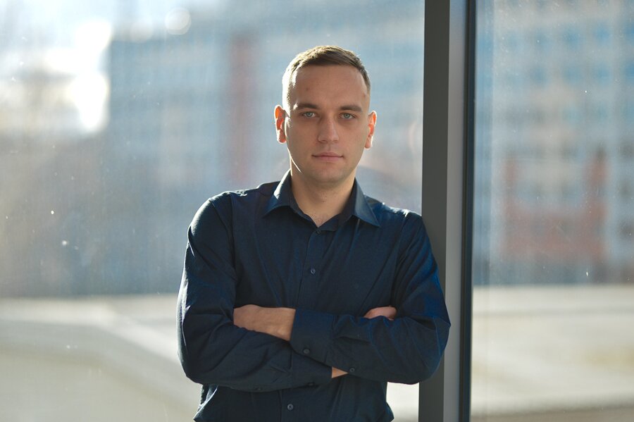
Dr. Dariusz Strugarek from the Institute of Geodesy and Geoinformatics won more than PLN 184,000 for the project 'Satellite Laser Ranging to Low Earth Orbiters for Orbit Validation and Determination of Global Geodetic Parameters’. This is a continuation of the UPWr scientist's research.
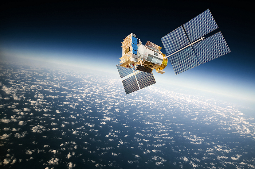
– The Sentinel-3A/B satellite studies the level of seas and oceans and their temperature, the GRACE-A/B and GRACE-FO satellites are used to study the Earth's gravitational field, and other satellites are used to study the magnetic field or to create models of the land surface – says Dr. Dariusz Strugarek, and immediately explains that in his project he intends to analyse data from 14 satellites collected over ten years, and with the help of special software, create a new IT tool that will make it possible to identify and reduce systematic errors occurring during analyses.
– Until now, we did not have suitable tools for the analysis of LEO data, but now we can use the existing Bernese GNSS software and, of course, implement further functions into it, which are necessary for our work – says Dr Strugarek, who, in the research grant he has won, has planned an internship at Hitotsubashi University in Japan, with one of the reviewers of his doctoral thesis, Professor Toshimishi Otsubo, who is a world expert in SLR technology, i.e. laser distance measurements. – My presentations at international scientific conferences, in which I presented the problem of modelling observations to LEO satellites obtained by the SLR technique, aroused interest. The environment is curious about new solutions and I am counting on a response after presenting research results based on previously unused data – says Dr. Strugarek and explains that he will analyse data whose precise orbits are provided by GNSS and DORIS techniques and to which stations of the SLR technique perform distance measurements, he explains.
photo: Shutterstock
In the project, the quality of the orbits will be inspected, effects influencing the quality of SLR measurements will be identified and reduced, and LEO combinations for the calculation of station coordinates will be preceded by tests of different computational strategies. An SLR-based Earth reference system will be determined, the quality of which will be verified by comparison with reference system realisations used to date. This will not only provide LEO missions and their operators with further new applications for monitoring and understanding the changes taking place with the ever-changing Earth system, but, above all, a better understanding of the geodynamic phenomena and processes monitored by global geodetic parameters and precise reference systems. – A more accurate datum means better satellite geodesy data for the scientific community, institutions, companies and societies. And better data means better monitoring of earthquakes, tsunamis, melting ice, precise datums for engineering measurements in construction or mining, but also better monitoring of the quality of vegetation, the amount of water in the soil, soil erosion, or satellite navigation used today – emphasises Dr. Dariusz Strugarek.
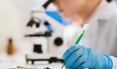
Dr. Igor Turkiewicz is researching the formation of stability and bioavailability in plant dyes by microencapsulation in the context of their potential antidiabetic properties.
The Wrocław University of Environmental and Life Sciences has joined the Coalition to reform the research, scientist and research units evaluation systems. It’s an initiative of the European Commission, but nearly 400 entities from more than 40 countries around the world are already involved.
This site uses custom cookies to ensure that it functions properly. Some are necessary for the page to run, so will always remain active. These cookies will store information about the user's cookie settings. In addition, third-party cookies are used for external tools. For more information see the privacy policy.
Purpose
Enables storage (such as cookies) related to advertising.
Agreed
Sets consent for sending user data to Google for online advertising purposes.
Agreed
Sets consent for personalized advertising.
Agreed
Enables storage, such as cookies (web) or device identifiers (apps), related to analytics, for example, visit duration.
Agreed
Enables storage that supports the functionality of the website or app, for example, language settings
Agreed
Enables storage related to personalization, for example, video recommendations
Agreed
Enables storage related to security such as authentication functionality, fraud prevention, and other user protection