Dr. Radosław Zajdel from the Wrocław University of Environmental and Life Sciences has been awarded a MERIT grant for the project "BIG4," which aims to explore the full potential of GNSS technology for precise geodetic research and monitoring of Earth's changes.
The MERIT grant will enable Dr. Zajdel to work for 30 months at the Geodetic Observatory Pecný in the Czech Republic on the project "BIG4 - Benefits of GNSS Integration for Geodesy, Geophysics, and Geodynamics." This presents an excellent opportunity for exchanging experiences and international collaboration. The grant is being carried out in cooperation with UPWr and the GFZ German Research Centre for Geosciences in Potsdam, fostering not only individual scientific development but also enhancing collaboration in the international network of experts in geodesy and earth sciences.
MERIT is a scholarship program by the Central Bohemian Innovation Center for scientists worldwide, promoting scientific mobility and research execution in the region.
Enhancing Earth's observation accuracy
Dr. Zajdel's project focuses on utilizing Global Navigation Satellite Systems (GNSS), such as GPS, GLONASS, Galileo, and BeiDou (BDS), to increase the accuracy of Earth observations and provide global geodetic reference frames. BIG4 refers to the "big four" of global navigation systems.
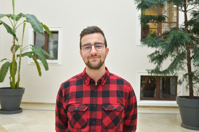
photo: Shutterstock
Geodesy, responsible for the precise description of Earth, faces the challenge of monitoring the deformation of the Earth's crust, the state of the atmosphere, and oceans. Experts from the broad field of Earth sciences believe that millimeter accuracy is crucial for understanding processes such as redistributing large masses, oceanic tides, rising sea levels, and local deformations.
– Initially developed mainly for military, navigation, and positioning purposes, GNSS has significantly contributed to the development of Earth sciences in recent decades. However, research shows that relying solely on GPS and GLONASS systems is insufficient to meet the requirements of the International Association of Geodesy (IAG). Therefore, the project investigates the potential of newer systems, such as the European Galileo and Chinese BDS, which may offer better observational capabilities and help the geodetic community achieve the accuracy desired by Earth science experts – explains Dr. Radosław Zajdel.
Galileo, the first system designed for entirely civilian applications, has already demonstrated the potential to significantly reduce GPS limitations in positioning and Earth observations. Meanwhile, the Chinese BeiDou system, which became fully functional in 2019, appears to be a key element enabling more comprehensive and accurate geodetic observations. Despite theoretically the same application and base technology behind GPS, GLONASS, Galileo, and BDS, each system differs in subtle details, from satellite orbital configurations and access to technical aspects of the system to data processing complexity, signal characteristics, and access to the global network of stations continuously tracking the satellites' signals. Understanding and utilizing these details allows for surpassing a certain accuracy threshold in Earth observations – explains Dr. Radosław Zajdel.
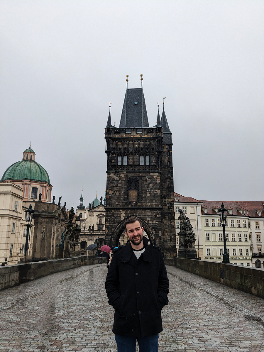
Dr. Zajdel in Prague photo: private archive
Thus, the project's goal is not only to integrate data from various GNSS systems but also to develop and apply a unique data processing methodology to maximize their potential, focusing on supporting Earth sciences. Such an integrated methodology will overcome individual system limitations through mutual complementation, which is crucial for better monitoring and understanding of geodynamic, climatic, and tectonic phenomena on Earth.
About the grant
The MERIT program has three main objectives: strengthening the European Research Area, developing cooperation between academic sectors, and promoting science among youth, emphasizing increasing women's presence in technical and natural sciences. It offers research opportunities in five key areas: biotechnology, laser technologies, space technologies, sustainable energy and materials, and digitization and artificial intelligence.
Through two calls for proposals, MERIT awards 30 scholarships for up to 30 months, with mandatory delegations lasting from 2 to 9 months. The program provides researchers with comprehensive experience through collaboration with 19 regional research organizations and 36 partners from various sectors, offering excellent training, access to unique research infrastructures, and extensive networking opportunities.
Research scholarships for scientists are primarily funded by the European Commission's budget under the HORIZON EUROPE program and the Marie Skłodowska-Curie COFUND (MSCA-COFUND) action program.
The "Modern Didactics Laboratory ROOM 2.21" and the "Chill &S study Greenhouse " a shared space for learning and relaxation at the Biskupin Campus, emerged as the winning projects in the third edition of the UPWr Participatory Budget. The former is a staff initiative, while students proposed the latter.
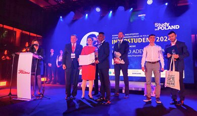
Waheed Adewale Rasaq, a PhD student from Nigeria at the Wrocław University of Environmental and Life Sciences, has won the Interstudent award for his contribution to waste management research. His award was not only for his contribution to science but also for his involvement in the social life of the university.
This site uses custom cookies to ensure that it functions properly. Some are necessary for the page to run, so will always remain active. These cookies will store information about the user's cookie settings. In addition, third-party cookies are used for external tools. For more information see the privacy policy.
Purpose
Enables storage (such as cookies) related to advertising.
Agreed
Sets consent for sending user data to Google for online advertising purposes.
Agreed
Sets consent for personalized advertising.
Agreed
Enables storage, such as cookies (web) or device identifiers (apps), related to analytics, for example, visit duration.
Agreed
Enables storage that supports the functionality of the website or app, for example, language settings
Agreed
Enables storage related to personalization, for example, video recommendations
Agreed
Enables storage related to security such as authentication functionality, fraud prevention, and other user protection