Geoinformatics in practice: UPWr scientist creates unique city model
A new multidimensional data structure for variable-scale representation of a spatial model - this is the title of a project by Dr. Paweł Bogusławski awarded in the OPUS 21 competition. The scientist has no doubt that the possible scope of application of the model will be broad: from the analysis of flood risks, through the impact of buildings on the surroundings, to a simulation of the mobility of residents within a city.
Dr. Paweł Bogusławski from the Institute of Surveying and Geoinformatics of the UPWr received over PLN 490 thousand from the National Science Centre as part of the OPUS 21 competition for his project 'A new multidimensional data structure for variable-scale representation of a spatial model'. As the scientist explains, this is for research in the field of geoinformatics: - That is, information technology that is oriented towards issues related to spatial and geographic information. The reality surrounding us is presented here in the form of computer models.
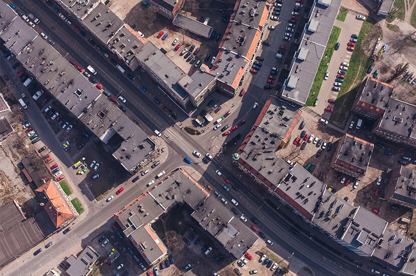
An example is an urban model, which includes, among others: a terrain model, buildings, a transport network and various types of infrastructure. They often require a large computer capacity, such as memory and processing power. This is not only necessary for visualisation, i.e. graphical representation of this model on a computer screen, but also for various types of spatial analyses and simulations.
Presenting models with a different level of detail
- And these are based not only on geometry, but above all on the spatial relations between the individual elements of the model, which, in turn, increase its complexity and require sophisticated means of representation in computer memory. Due to technical limitations, certain elements need to be simplified. For example, three-dimensional reality is represented by a two-dimensional model and buildings are described by simple solids with no representation of the interior. This enables the preparation of analyses and simulations in a reasonable time, although at the expense of the quality of the results - explains Dr. Bogusławski.
The aim of the project is to develop a new, multidimensional data structure that will enable the representation of spatial models with various levels of detail. This will allow us to conduct a rough analysis of a large area presented at a low level of detail. If necessary, a detailed analysis of selected, smaller fragments will be performed on a detailed model.
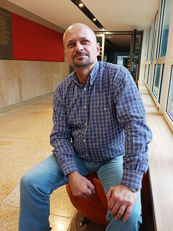
Dr. Paweł Bogusławski explains that the research awarded in the OPUS competition is geoinformatics in practice. Photo: Patrycja Bogusławska
- There is nothing to stop us from applying this approach today, without the need to introduce new solutions. However, even if they are represented at a different level of detail, the models do not explicitly link components at different levels. Modifying the structure on one level does not change the related elements. Our solution provides for the introduction of mechanisms that will link these elements into a coherent whole. For this purpose, we want to use a fourth spatial dimension. From a technical point of view, it does not differ from the three basic ones used to represent the three-dimensional model. However, it will allow us to explicitly link and identify the same elements at different levels of representation, and thus allow for a smooth transition between these levels and an automatic cascade of possible changes. This will ensure the consistency of the entire model - says Dr. Paweł Bogusławski, explaining that another aspect of the planned tasks is the way in which the above solution will be implemented in the computer's memory.
There are a number of solutions that allow for the representation of a spatial model with the use of various data structures. They store geometry and links between elements of the model. Only a small proportion of them allow for four-dimensional representation.
From flood hazards to computed tomography
- Our solution will make it possible. What's more, the applied concept related to the theory of graphs - Poincaré duality - will significantly simplify the basic elements of the model. The representation of spatial relations, i.e. links between certain elements of the model, will be complicated, but the developed mechanisms for their creation and editing will enable simple and intuitive work with the model - emphasises the scientist.
As the proposed approach is low-level (they are operations at computer-memory level), the team of Dr. Bogusławski plans to prepare a prototype demonstrating the functionality and capabilities of the developed solutions. A city model consisting of a digital terrain model and buildings presented at different levels of detail will be developed. The potential use of this model is basically unlimited. Flood risk analysis, the impact of designed buildings on the surroundings, simulations of the mobility of residents within a city or in particular buildings - these are just a few of the examples.
- We hope that the results of our research will also be applied in disciplines other than geoinformatics, for example in computed tomography or graph databases - concludes the scientist.
This site uses custom cookies to ensure that it functions properly. Some are necessary for the page to run, so will always remain active. These cookies will store information about the user's cookie settings. In addition, third-party cookies are used for external tools. For more information see the privacy policy.
Purpose
Enables storage (such as cookies) related to advertising.
Agreed
Sets consent for sending user data to Google for online advertising purposes.
Agreed
Sets consent for personalized advertising.
Agreed
Enables storage, such as cookies (web) or device identifiers (apps), related to analytics, for example, visit duration.
Agreed
Enables storage that supports the functionality of the website or app, for example, language settings
Agreed
Enables storage related to personalization, for example, video recommendations
Agreed
Enables storage related to security such as authentication functionality, fraud prevention, and other user protection