Over two million PLN for research on the evolution of Earth's gravitational field
As part of the winning project of the SONATA BIS 11 competition, funded by the National Science Centre, Prof. Krzysztof Sośnica and his team will use precise laser observations and distance measurements to geodetic satellites to study the evolution of the Earth's gravitational field in more detail.
By observing the Earth's changing gravitational field, it is possible to describe the movement of masses in the earth system, including changes in land waters, ice caps, oceans and the atmosphere. These observations provide essential information on the global water cycle, changes in ocean surface currents, glacier mass loss, rising sea levels, surface load shifts, and many other environmental processes.
The changes that occur in the Earth's gravitational field directly affect its rotation and, in particular, its polar coordinates and changes in the length of the day from an annual to century timescale.
Not only GRACE and GRACE Follow-On
The GRACE and GRACE Follow-On satellite missions have revolutionised the observations of mass movements in the earth system, but they have been providing data since relatively recently. Scientists have little knowledge of changes in the Earth's gravitational field before 2002, i.e. before the launch of the GRACE mission. In addition, the GRACE mission was initially designed for five years, but it lasted longer. After 2010, there were serious problems with its power supply, resulting in shortages in data transmission. The GRACE Follow-On satellite entered the scientific phase in January 2019, 16 months after the withdrawal of its predecessor. These events rendered observations of the Earth's gravitational field discontinuous, with numerous gaps between 2010 and 2019.
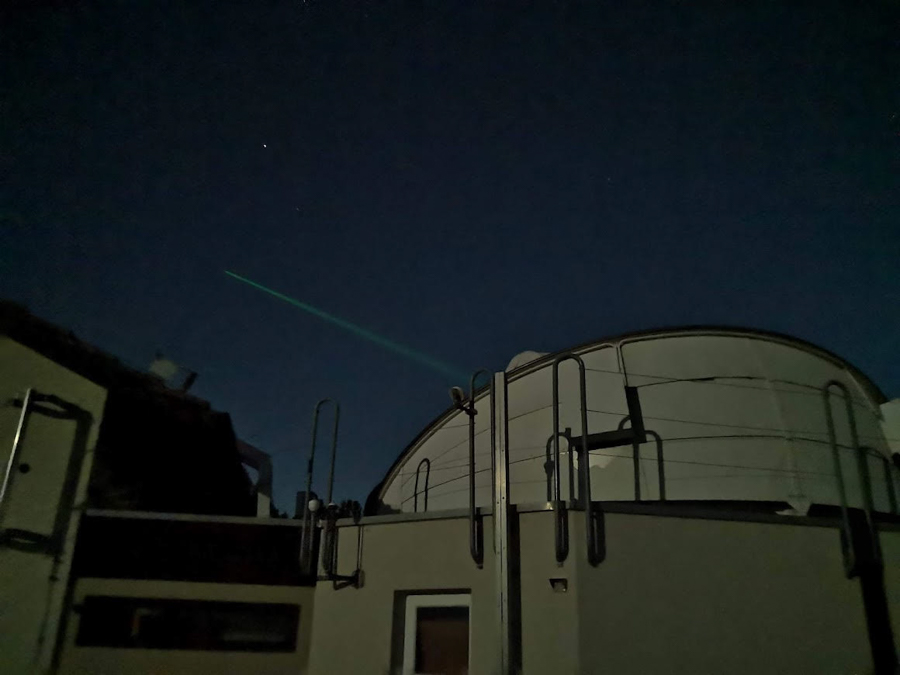
Satellites have been observed by a global network of laser stations since the 1980s. This data can be used to study changes in the Earth's gravitational field. Photo: private archive
As emphasised by Prof. Krzysztof Sośnica from the Institute of Surveying and Geoinformatics at the Wrocław University of Environmental and Life Sciences, the GRACE and GRACE Follow-On missions are not the only missions that can be used to determine the variability of the Earth's gravitational field.
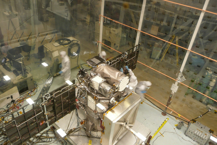
– Studying mass redistribution processes on a large scale, we can apply precise laser measurements of the distance to geodetic satellites such as LAGEOS-1/2, LARES, BLITS, as well as Ajisai, Starlette and Stella – says Prof. Sośnica, adding that the satellites Starlette, Ajisai and LAGEOS have been regularly observed since the 1980s by a global network of laser stations, providing distance measurements with an accuracy of several millimeters. And since the beginning of the 1990s, many active low-speed satellites (LEO) have been equipped with precision Global Navigation Satellite System (GNSS) receivers, enabling precise determination of the orbit, and thus calculating the parameters of the gravitational field. They can therefore be used to further investigate changes in the Earth's gravitational field.
Did melting glaciers affect the flattening of the Earth?
The project will determine quantities such as the gravitational constant - a fundamental parameter essential not only for surveying, but also for physics and astronomy. The movements of the Earth's core will be checked, along with assessments and the atmosphere. The Earth's centre makes small movements of a few millimetres due to phenomena occurring inside and, above all, on the surface of the planet. The shape of the Earth is flattened due to its spinning motion. However, the flattening of the Earth is not constant over time. The project aims to answer the question of how flattening of the Earth has changed due to melting glaciers in Greenland and Antarctica over the last 40 years.
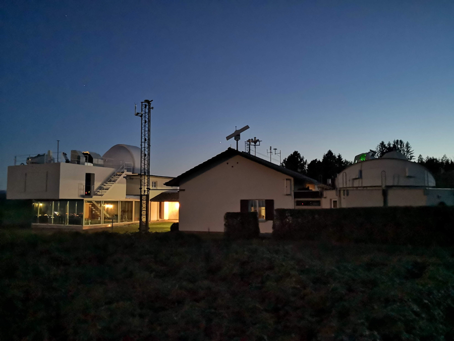
Studying large-scale mass redistribution processes we can use precise laser measurements of the distance to geodetic satellites.
Photo: private archive
The coordinates of the geocentre, or the Earth's centre of mass, and the values of the Earth's flattening will be determined from a number of sources that rely on various data and satellite and ground-based techniques. Various data sources – satellite, geophysical and geodetic – will be integrated using machine learning algorithms and artificial intelligence. The influence of the Earth's gravity on the variation of the length of the day and the movement of the Earth's polarity will be investigated, as well as how changes in the gravitational field affect the movement of artificial satellites and the positions of GPS stations on the Earth's surface.
SONATA BIS 11
The project, which obtained funding from the National Science Centre as part of the SONATA BIS 11 competition in the amount of PLN 2,196,000, involves the determination of patterns using integrated observations. It will combine laser measurements of the distance to geodetic satellites, GNSS station coordinates, low-orbiting satellites equipped with GNSS receivers, data from GRACE satellites and geophysical models.
- As part of this project, we will derive and analyse temporal, integrated and multi-satellite models of the Earth's gravitational field, based on data from the 1980s, which will give us a more complete view of the evolution of the gravitational field - says Prof. Sośnica.
Laser telescopes observe satellites such as LAGEOS-1/2, LARES, BLITS, Ajisai, Starlette and Stella.
Photo: private archive
This research will provide fundamental insights into the processes of the earth system and will be essential for Earth observation and measurement satellite missions requiring determination of satellite orbits with the highest accuracy.
This site uses custom cookies to ensure that it functions properly. Some are necessary for the page to run, so will always remain active. These cookies will store information about the user's cookie settings. In addition, third-party cookies are used for external tools. For more information see the privacy policy.
Purpose
Enables storage (such as cookies) related to advertising.
Agreed
Sets consent for sending user data to Google for online advertising purposes.
Agreed
Sets consent for personalized advertising.
Agreed
Enables storage, such as cookies (web) or device identifiers (apps), related to analytics, for example, visit duration.
Agreed
Enables storage that supports the functionality of the website or app, for example, language settings
Agreed
Enables storage related to personalization, for example, video recommendations
Agreed
Enables storage related to security such as authentication functionality, fraud prevention, and other user protection